
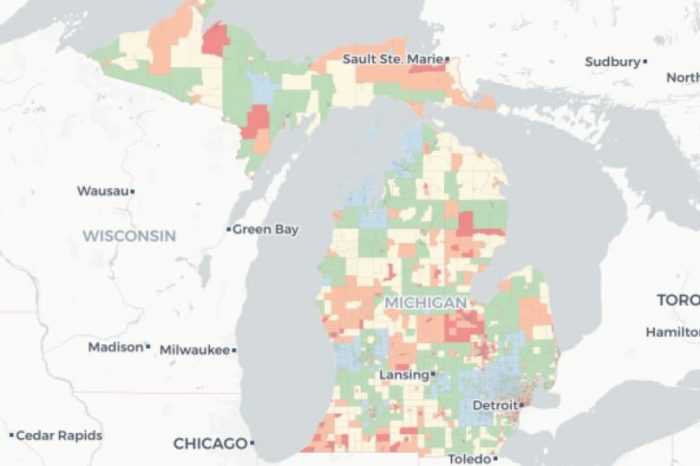
Many cities and residents in Michigan have already begun to feel the effects of climate change. Such changes can damage the environment and public health. Trish Koman, a research investigator for the School of Public Health, and her colleagues have developed the Michigan Environmental Project, an online mapping tool designed to track climate change impacts in Michigan.
The new tool uses a technique adapted from California, in which researchers used publicly available data to create heat stress vulnerability indices, including data about tree canopy coverage, impervious surfaces (roads, sidewalks, and other artificial structures that are water resistant), locations of future climatic temperature increases, and location of populations vulnerable to heat stress.
Listen to Koman’s interview about the project on WEMU’s “Issues of the Environment.”