
Scholars and researchers have a new way to find and compare geospatial data and maps: the Big Ten Academic Alliance Geoportal. “The ease of use is wonderful, but what’s really new and different here is a search that allows you to compare contemporary data to old maps,” said Mara Blake, spatial and numeric data librarian at the U-M Library. The geoportal allows searching across thousands of records of openly available geographic information system (GIS) datasets, web services, and digitized historical maps from multiple data clearinghouses and library catalogs—with an interface that makes discovery easy for experienced researchers as well as neophytes. The geoportal is managed by team of librarians and geospatial specialists at 10 research institutions from across the Big Ten Academic Alliance.
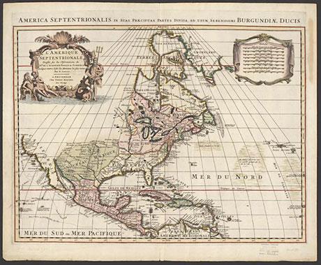
L’Amérique septentrionale (North America) by Nicolas Sanson, circa 1700. (Clark Library Map Collection)